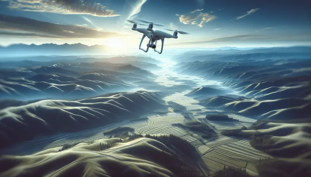
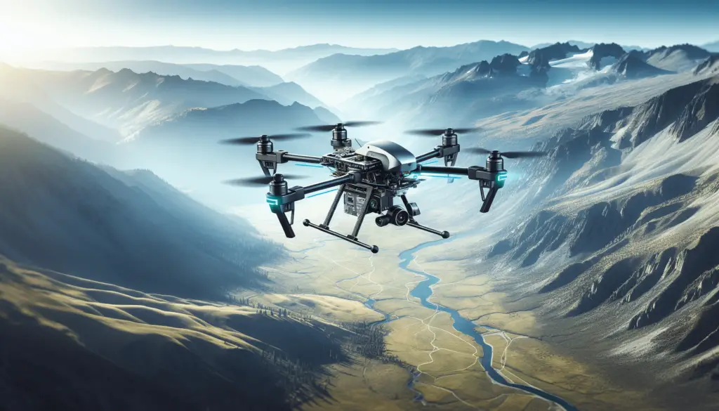
Is Using Drones Beneficial for Mapping and Land Management in Off-Grid Living?
You may be wondering: How can drones improve mapping and land management in off-grid living situations? Let’s explore the benefits and considerations of using drones for these purposes.

Benefits of Using Drones for Mapping in Off-Grid Living
Drones can provide valuable insights into your off-grid property that may not be easily accessible by foot or vehicle. They offer a unique perspective from above, allowing you to create detailed maps of your land.
Precision Mapping
Using drones for mapping allows you to create highly accurate and detailed maps of your off-grid property. This can be especially useful for planning purposes, such as identifying ideal locations for building structures or determining the best areas for agriculture.
Time and Cost Efficiency
Drones can cover large areas of land in a relatively short amount of time, saving you both time and money. Instead of manually surveying the land on foot, you can quickly gather data with a drone and create detailed maps without the need for costly equipment or specialized skills.
Using Drones for Land Management in Off-Grid Living
In addition to mapping, drones can also be utilized for land management in off-grid living situations. Let’s explore how drones can help you efficiently manage your off-grid property.
Vegetation Monitoring
Drones equipped with specialized sensors can provide valuable information about the health and growth of vegetation on your property. By regularly monitoring vegetation with drones, you can identify areas that may need attention, such as irrigation or fertilization.
Soil Analysis
Drones can also be used to collect soil samples from various locations on your off-grid property. This data can be analyzed to determine the nutrient levels and composition of the soil, helping you make informed decisions about crop selection and soil management.
Security and Surveillance
Drones can serve as a valuable tool for enhancing security and surveillance on your off-grid property. By using drones to monitor your land, you can quickly respond to potential threats or suspicious activity, ensuring the safety and security of your property.

Factors to Consider When Using Drones for Mapping and Land Management
Before incorporating drones into your off-grid living practices, there are several factors to consider to ensure their effective use and compliance with regulations.
Drone Regulations
It is important to familiarize yourself with the regulations and restrictions regarding drone use in your area. Make sure you comply with all relevant laws and obtain any necessary permits or certifications before flying your drone.
Weather Conditions
Weather can greatly impact the performance of drones, especially in off-grid areas with limited access to shelter. Be mindful of weather conditions such as strong winds, rain, or fog that may affect the effectiveness of your drone flights.
Maintenance and Upkeep
Proper maintenance of your drone is essential to ensure its longevity and performance. Regularly inspecting and calibrating your drone, as well as replacing any worn-out parts, can help prevent malfunctions and keep your drone in optimal condition.
Case Study: Using Drones for Mapping and Land Management in an Off-Grid Property
To better understand the practical applications of drones in off-grid living, let’s look at a real-life case study of using drones for mapping and land management.
Property Overview
John owns a 50-acre off-grid property in a remote area with rugged terrain and dense vegetation. He decides to use drones to map his land and improve his land management practices.
Mapping with Drones
John uses a drone equipped with a high-resolution camera to capture aerial images of his property. He uses mapping software to create detailed maps that show topography, vegetation cover, and water sources on his land.
Land Management Benefits
By regularly monitoring vegetation and soil health with drones, John is able to identify areas with potential for improvement. He uses this data to optimize his planting strategies, improve crop yields, and reduce water usage on his property.
Security Enhancements
John also uses drones for security purposes, patrolling his land and monitoring for any signs of unauthorized activity. The real-time data provided by the drones allows him to respond quickly to potential threats and protect his property effectively.
Conclusion
In conclusion, the use of drones for mapping and land management in off-grid living can offer numerous benefits, from precision mapping to improved land management practices. By considering factors such as regulations, weather conditions, and maintenance, you can effectively incorporate drones into your off-grid lifestyle. Whether you are a homesteader, farmer, or landowner, drones can provide valuable insights and enhance the sustainability of your off-grid property.
