How To Utilize Drones For Land Surveillance And Mapping

Introduction
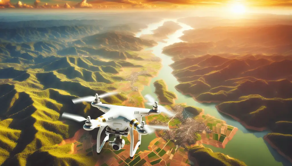
Drones have become increasingly popular in recent years for various applications, including land surveillance and mapping. In this article, we will explore how you can effectively utilize drones for these purposes to gather valuable data and create detailed maps.
What are Drones?
Drones, also known as Unmanned Aerial Vehicles (UAVs), are flying devices that are operated remotely without a pilot on board. They come in various shapes and sizes, equipped with cameras and sensors to capture images and data from the air.
Drones are versatile tools that can be used for a wide range of applications, from recreational purposes to professional use in industries such as agriculture, construction, and land surveying.
Benefits of Using Drones for Land Surveillance and Mapping
Using drones for land surveillance and mapping offers numerous advantages over traditional methods. Here are some key benefits:
Cost-Effective
Drones are a cost-effective solution for land surveillance and mapping, as they eliminate the need for expensive equipment and manpower. They can cover large areas quickly and efficiently, reducing the overall costs of the surveying process.
Time-Saving
With drones, you can collect data and imagery much faster than traditional methods, saving time and increasing productivity. Drones can cover vast areas in a fraction of the time it would take using ground-based surveying techniques.
Accuracy
Drones are equipped with high-resolution cameras and sensors that can capture detailed images and data with exceptional accuracy. This enables you to create precise maps and models of the land with minimal margin of error.
Safety
Using drones for land surveillance and mapping eliminates the need for manual labor in hazardous or hard-to-reach areas. Drones can access remote locations and capture data without putting human operators at risk, ensuring safety during the surveying process.
Flexibility
Drones offer flexibility in terms of flight paths and data collection. You can program drones to follow specific routes and capture targeted areas of interest, allowing you to customize the surveying process according to your requirements.
Types of Drones for Land Surveillance and Mapping
There are different types of drones available on the market designed specifically for land surveillance and mapping purposes. Here are some common types:
Fixed-Wing Drones
Fixed-wing drones are designed like airplanes, with wings that provide lift for sustained flight. These drones are ideal for covering large areas efficiently and can stay airborne for an extended period, making them suitable for mapping expansive landscapes.
Multi-Rotor Drones
Multi-rotor drones, such as quadcopters and hexacopters, are popular for their stability and maneuverability. These drones are equipped with multiple rotors that allow them to hover in place and capture high-quality images from various angles, making them suitable for detailed mapping.
VTOL (Vertical Take-Off and Landing) Drones
VTOL drones combine the advantages of fixed-wing and multi-rotor drones, with the ability to take off and land vertically like a helicopter and transition to fixed-wing flight for longer endurance. These drones are versatile for both close-range and long-range applications in land surveillance and mapping.
Hybrid Drones
Hybrid drones combine different propulsion systems, such as electric motors and gas engines, to achieve optimal performance for land surveillance and mapping missions. These drones offer a balance between endurance, payload capacity, and versatility, making them suitable for complex mapping projects.
Planning Your Drone Survey Mission
Before you embark on a land surveillance and mapping mission using drones, it is essential to plan and prepare for a successful operation. Here are some key steps to consider:
Define Your Objectives
Start by defining the objectives of your survey mission, including the area to be mapped, the level of detail required, and the specific data to be collected. This will help you determine the scope of the project and plan accordingly.
Choose the Right Drone and Equipment
Select a drone that is suitable for your survey mission based on factors such as area size, terrain complexity, and data requirements. Ensure that your drone is equipped with the necessary cameras, sensors, and software for capturing and processing accurate data.
Conduct a Site Survey
Before the actual survey mission, conduct a site survey to assess the terrain, obstacles, and potential hazards that may affect your drone flight. Identify any restricted areas or airspace regulations that you need to comply with during the operation.
Plan Your Flight Path
Plan your drone’s flight path carefully to cover the entire area of interest effectively. Use mapping software or flight planning tools to create a predefined route for the drone to follow, ensuring complete coverage of the survey area.
Ensure Safety and Compliance
Prioritize safety during the drone survey mission by following all aviation regulations and best practices for drone operation. Obtain necessary permits or permissions for flying in designated areas and maintain visual line of sight with the drone at all times.

Data Collection and Processing
Once you have planned your drone survey mission, it’s time to collect data and process the imagery to create accurate maps and models of the land. Here are the steps involved in data collection and processing:
Pre-Flight checks
Before each flight, conduct pre-flight checks to ensure that your drone is functioning properly and all equipment is in working order. Check the battery levels, GPS signal, and camera settings to avoid any technical issues during the survey mission.
Capture Imagery
Fly your drone over the designated area and capture high-resolution images using the onboard camera. Ensure that the drone covers the entire survey area with overlapping images to create a detailed mosaic for processing.
Ground Control Points
Set up ground control points (GCPs) in the survey area to improve the accuracy of the mapping data. These reference points help in georeferencing the images captured by the drone and aligning them with real-world coordinates.
Data Processing
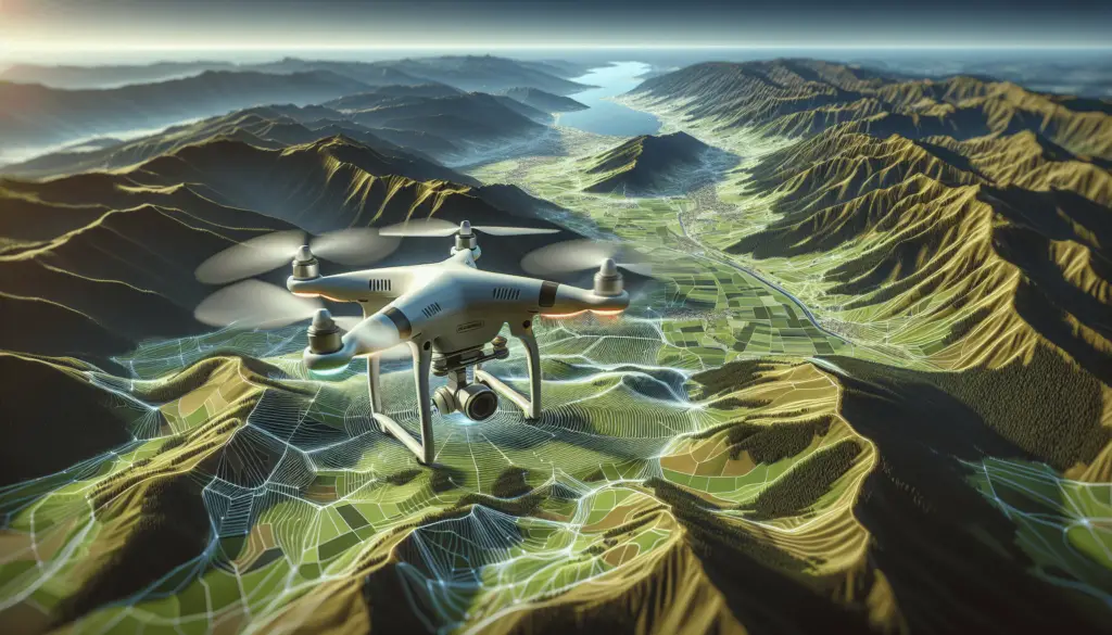
Process the captured imagery using photogrammetry software to create orthomosaics, digital elevation models (DEMs), and 3D models of the land. Stitch together the images, georeference them using GCPs, and generate accurate maps for analysis and visualization.
Quality Assurance
Perform quality assurance checks on the processed data to ensure accuracy and consistency. Verify the alignment of features, elevation measurements, and overall quality of the maps generated from the drone survey mission.
Applications of Drone Mapping in Land Surveillance
Drone mapping offers a wide range of applications in land surveillance and monitoring across various industries. Here are some common applications of drone mapping:
Agriculture
Drones are used in agriculture for crop monitoring, precision farming, and yield estimation. Farmers can analyze vegetation health, detect pests and diseases, and optimize irrigation strategies using drone mapping technology.
Construction
In the construction industry, drones are utilized for site inspection, progress tracking, and 3D modeling. Construction companies can monitor project developments, assess earthwork volumes, and generate as-built models for planning and documentation.
Environmental Monitoring
Drones play a crucial role in environmental monitoring for biodiversity assessment, habitat mapping, and land conservation. Researchers and conservationists use drones to survey wildlife populations, monitor deforestation, and assess environmental impact in sensitive ecosystems.
Infrastructure Inspection
Drones are employed for infrastructure inspection of bridges, roads, and buildings to assess structural integrity and identify maintenance needs. Inspectors can capture high-resolution images and videos of infrastructure assets to identify defects and plan repairs effectively.
Disaster Response
During natural disasters, drones are deployed for rapid damage assessment, search and rescue operations, and emergency response. Drones can provide real-time imagery of affected areas, support disaster management efforts, and assist in relief operations.
Best Practices for Drone Land Surveillance and Mapping
To ensure the success of your drone land surveillance and mapping projects, follow these best practices for safe and efficient drone operation:
Obtain Permission and Permits
Before flying your drone for land surveillance and mapping, obtain necessary permits and permissions from relevant authorities. Check local regulations, airspace restrictions, and privacy laws to ensure compliance with legal requirements.
Conduct Regular Maintenance
Perform regular maintenance checks on your drone and equipment to keep them in optimal condition for flight. Inspect the drone for any damage, calibrate sensors, and update software to prevent technical issues during operation.
Plan Your Flights Carefully
Plan your drone flights carefully by considering factors such as weather conditions, airspace restrictions, and flight paths. Use pre-flight checklists, flight planning tools, and safety protocols to ensure smooth and safe operation of the drone.
Fly Responsibly
Fly your drone responsibly by maintaining visual line of sight, avoiding crowded areas, and respecting the privacy of others. Follow the rules of safe drone operation, such as maintaining a safe distance from people and property, to prevent accidents and conflicts.
Data Security and Privacy
Protect the data collected during drone mapping missions by implementing security measures and data handling protocols. Ensure that sensitive information is encrypted, stored securely, and shared only with authorized personnel to maintain data confidentiality.
Conclusion
In conclusion, drones offer a powerful tool for land surveillance and mapping, providing cost-effective, time-saving, and accurate solutions for various industries. By following best practices and utilizing the right equipment, you can leverage drone technology to gather valuable data, create detailed maps, and monitor land resources efficiently. Start planning your drone survey mission today and discover the endless possibilities of aerial mapping with drones.
